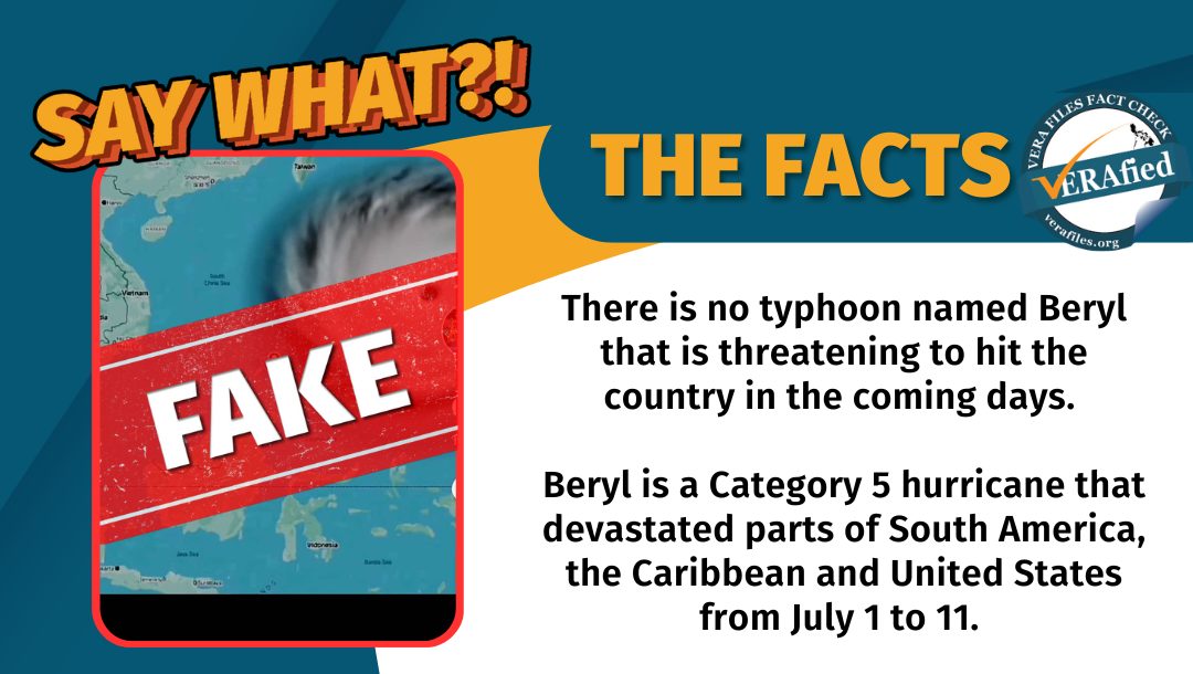
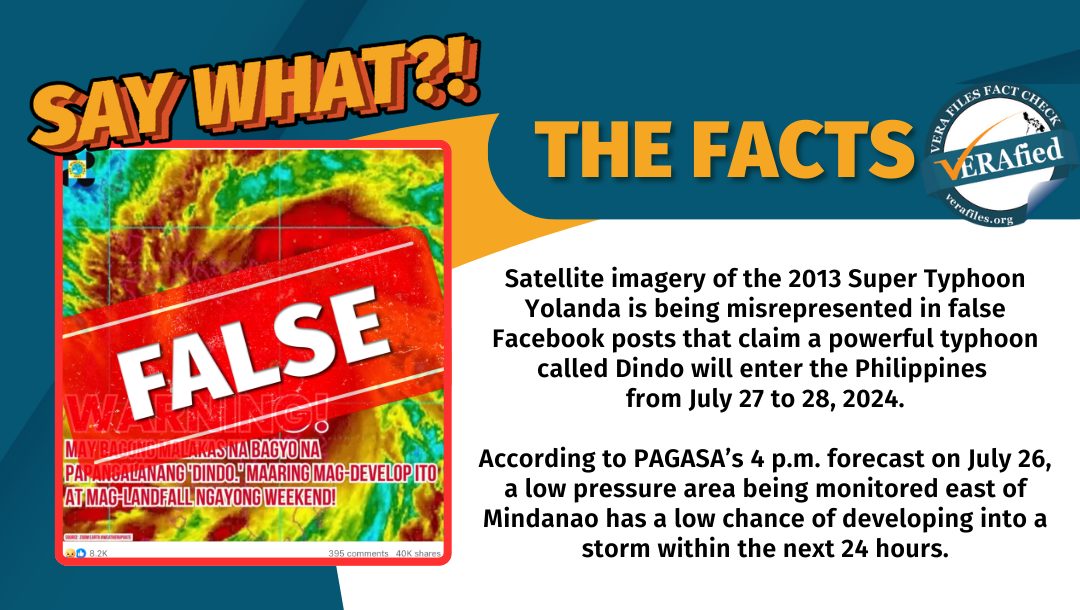
Several Facebook (FB) posts claimed that a new, powerful typhoon named “Dindo” could make landfall this weekend. This is false.
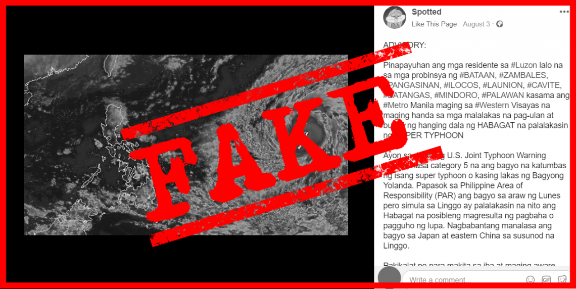
VERA Files Fact Check flagged four such posts uploaded on July 25. These carried a satellite image of Super Typhoon Yolanda which devastated the country in 2013, and misrepresented it as imagery of Dindo, with the text:
“WARNING! MAY BAGONG MALAKAS NA BAGYO NA PAPANGALANANG ‘DINDO.’ MAARING MAG-DEVELOP ITO AT MAG-LANDFALL NGAYONG WEEKEND!”
(WARNING! THERE IS A NEW POWERFUL STORM NAMED ‘DINDO.’ IT COULD DEVELOP AND MAKE LANDFALL THIS WEEKEND!)
Two of the false FB posts carried clickbait links that claim to list places that will be affected by the typhoon, however, both redirect to e-commerce websites.
As of 4 p.m. on July 26, the Philippine Atmospheric, Geophysical, and Astronomical Services Administration (PAGASA) said the low pressure area (LPA) being monitored east of Mindanao has a low chance of developing into a storm within the next 24 hours.
However, since the LPA is still situated in the ocean, PAGASA weather forecaster Chenel Dominguez said the state weather bureau is not ruling out the possibility of it developing into a typhoon.
In a weather forecast at 4 a.m. the same day, PAGASA noted that the LPA may bring cloudy skies with scattered rain showers to the Bicol region, Eastern Visayas, and eastern Mindanao by Sunday through early next week.
The false posts emerged the same day that Carina (international name: Gaemi) exited the Philippine Area of Responsibility. Carina intensified into a Super Typhoon prior to its landfall over Taiwan.
Three newly-created FB pages – Philippine Weather Alerts (created on July 19), Philippine Weather Alert (July 19), and Metro Headlines Ph (July 16) – published the untrue claim, collectively garnering over 9,175 reactions, 678 comments, and 56,000 shares.
Editor’s Note: The author is a University of the Philippines student writing for VERA Files as part of his internship.


