(The following piece was my remarks during the testimonial dinner given last Oct. 29 by some members of media for Senior Associate Justice Antonio T. Carpio, who retired Oct. 30, 2019.)
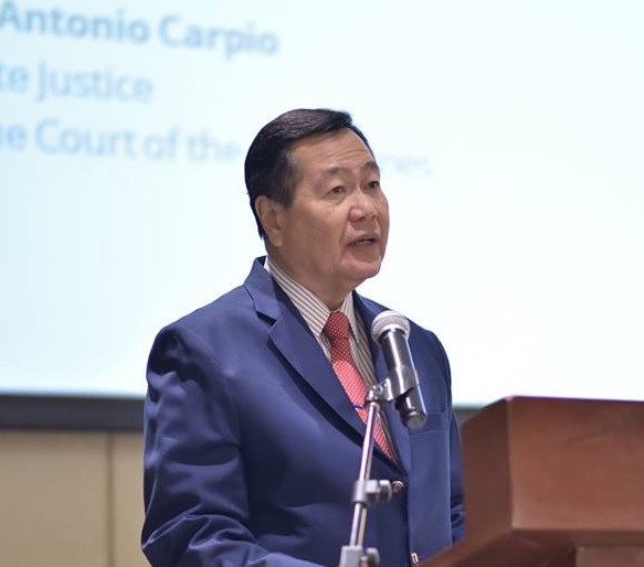
Sometime ago, Justice Carpio had a lecture on West Philippine Sea at the UST. Charmaine Deogracias of NHKTV, Dana Batnag of Jiji Press and I called up his office to ask if we could attend and we were told our names will be submitted to the organizer as his guests. So, off we went.
Charmaine arrived first and as instructed, she said, “Guest of Justice Carpio.” The guard asked for her ID and she showed her Press ID. She was told that Media is not allowed and was told to go to the University’s Public Affairs Office.
A staff in UST’s Public Affairs Office said a media request to attend a forum at UST will have to be approved by the higher-ups and that will take time. Taking pity on Charmaine, she smuggled her to the auditorium through a side door. Charmaine then texted us not to tell the guard we are “Media.” Just “guest of justice Carpio.”
New lawyer Dana arrived in denims and backpack and informed the guard“guest of Justice Carpio.” The guard asked, “Are you from media?” Dana said, “No” and showed her IBP ID. She was let in.
I was the last to arrive, wearing a dress. The guard asked me, “IBP ka rin?” I was tempted to say “Yes” but that would be misrepresentation. The guard might also ask for an IBP ID. With emphasis, I said, “Guest of Justice Carpio.” And I was let in.
One has to be resourceful to get to a lecture by Justice Carpio.
Carpio’s lectures
The wonderful thing about Justice Carpio’s lectures is that they are never the same; there is always something new. And he is such a good storyteller.
His narration of how Sandy Cay was formed reminds me of James Michener’s story of how the islands of Hawaii were formed from volcanic eruptions on the ocean floor, bit by bit as waves carried the sand for millions of years to form the 50th state of the United States.
Justice Carpio said, “Sandy Cay is located between Pagasa and Subi Reef, although much closer to Pagasa. Sandy Cay is a disappearing high-tide sandbar – it appears for a few months and then disappears, and then re-appears again either in the same place or in a nearby place. The disappearance is caused by storms which disperse the sand. The action of the waves reforms the sandbar after a few months and thus the sandbar re-appears again.
“Apparently, because of China’s dredging in Subi Reef, pulverized corals drifted and gathered at Sandy Cay and made Sandy Cay permanently above water at high-tide.”
President Duterte could not understand Justice Carpio’s concern over Chinese ships surrounding Sandy Cay. “Why would I defend a sand bar and kill Filipinos over a sandbar?” he asked.
He should have listened to Justice Carpio’s lecture explaining the importance of Sandy Cay: “As a high-tide elevation, Sandy Cay is now land or territory capable of sovereign ownership with its own territorial sea and territorial airspace. Sandy Cay now cuts off the extension of Pagasa’s territorial sea to include Subi Reef. If China acquires sovereignty over Sandy Cay, it can now claim Subi Reef as part of the territorial sea of Sandy Cay, legitimizing China’s claim over Subi Reef and removing Subi Reef from the continental shelf of the Philippines.”
Murillo map
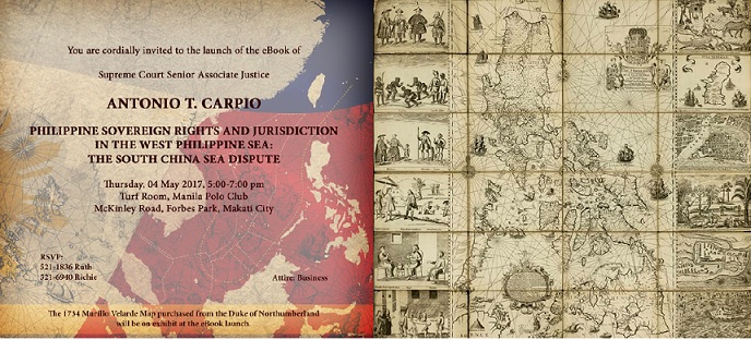
Even his trivia bears far-reaching consequences. Like the 1743 Murillo Velarde map showing Scarborough or Panatag shoal as part of the Philippines long before China came out of its nine-dashed-line map.
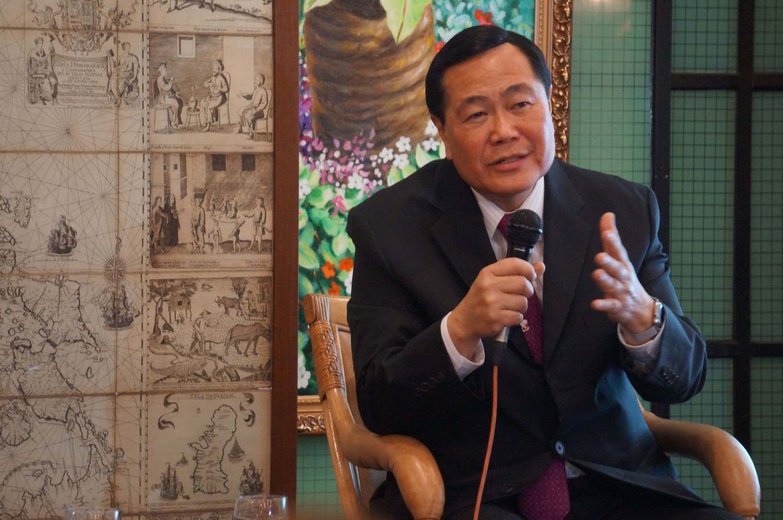
It was in his lecture at the historic Ayuntamiento de Manila in Intramuros that he mentioned that the Murillo Velarde map was purchased for P12 million by businessman Mel Velarde in a heart-thumping Sotheby auction.
Did you know that for more than 200 years, the map had been kept in a room in Alnwick Castle, which has been featured as Hogwarts School of Witchcraft and Wizardry in the first two Harry Potter films?
How did the Murillo map get to the same castle where Harry Potter had his first flying lessons?
History accounts say when the British forces invaded the country in 1762, they confiscated from churches copper plates which enabled them to print Spanish maps when they were back in London. The copper plates were used to print copies of the Murillo Velarde map which were sold to public libraries and cartographic collectors, one of them the Duke of Northumberland, who owns Alnwick Castle.
In April 2012, a devastating flood hit Northumberland County and the current duke, George Algernon Percy, decided to auction off 80 of the family’s heirlooms, which included the Murillo Velarde map, to finance the rehabilitation of his estate and the surrounding areas.
And as they say, the rest is history.
Fact-checking
Aside from his lecture tours, Justice Carpio has ventured into another form of fighting disinformation being spread by China and our very own president- Fact Checking.
He has fact-checked not only Duterte (a number of times) but also Xi Jinping when the Chinese leader falsely claimed that the 14th century Chinese navigator, diplomat and admiral Zheng He made “multiple visits” to the Manila Bay, Visayas and Sulu to seek friendship and cooperation.
False, Justice Carpio said, Zheng He never visited the Philippines. He cited a Chinese professor Hsu Yun-Ts’iao to debunk the Chinese leader’s claim.
Most recently, Justice Carpio fact-checked the Guangdong Fishery Mutual Insurance Association’s apology over the ramming of the Filipino fishermen’s boat in Reed Bank. The apology was readily accepted by Malacañang and the DFA. Not Justice Carpio, whose fact checking antenna was as sharp as ever. He noticed that the Chinese Fisheries Association’s apology mentioned Reed Bank was “part of the Nansha Island Group.”
False, Justice Carpio again said: “The Arbitral Tribunal ruled that Reed Bank is a completely submerged area, forming part of the Philippine EEZ, beyond the territorial sea of any island in the Spratlys.”
Sir, baka gusto mo. VERA Files is in need of Fact Checkers.

