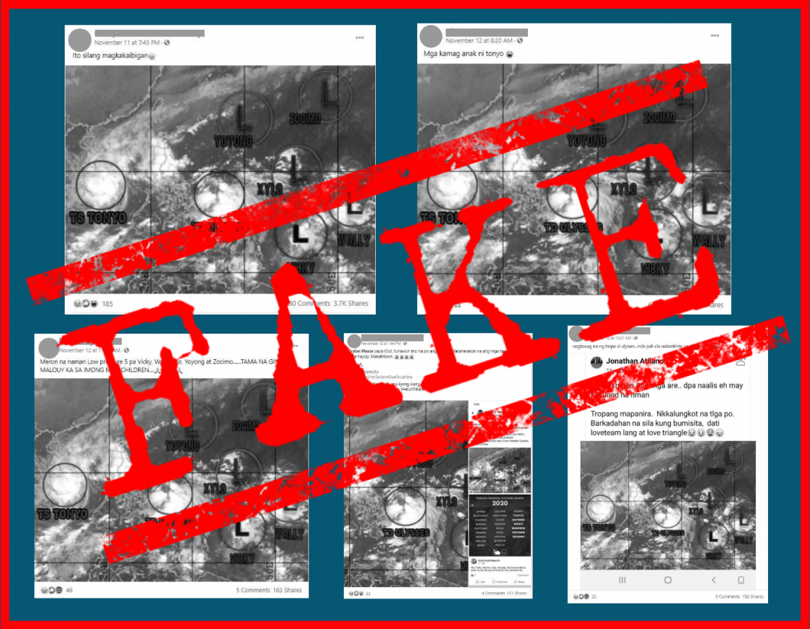
As Typhoon Ulysses made landfall on Nov. 11 and 12, several Facebook (FB) users posted satellite weather imagery supposedly showing five more low pressure areas (LPA) forming in and near the Philippine Area of Responsibility (PAR)—naming them “Vicky,” “Wally,” “Xylo,” “Yoyong,” and “Zocimo.”
This is fake.
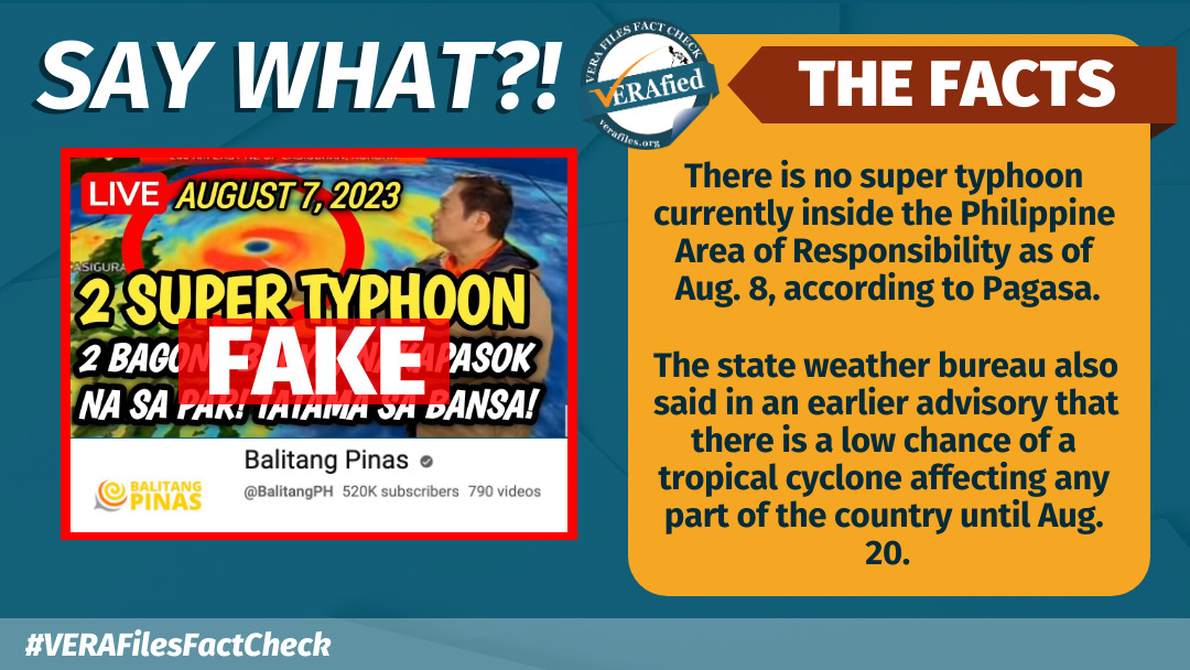
While the Philippine Atmospheric, Geophysical and Astronomical Services Administration (PAGASA) has said that one more storm may enter the PAR this month, no LPAs or storms have been observed forming near the country or in the PAR, at least for the next few days, according to latest forecasts.
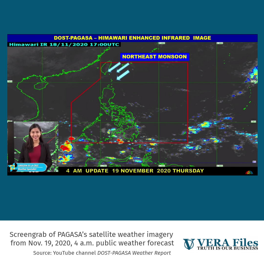
“Sa kasalukuyan, wala tayong inaasahang weather disturbance such as low pressure area at wala rin tayo inaasahang mamumuong bagyo at least in the next two to three days sa ating pagtaya,” said PAGASA weather specialist Loriedin dela Cruz in the agency’s latest weather forecast, issued at 4 a.m. Nov. 19.
PAGASA’s satellite weather imagery in the report also showed a clear PAR.
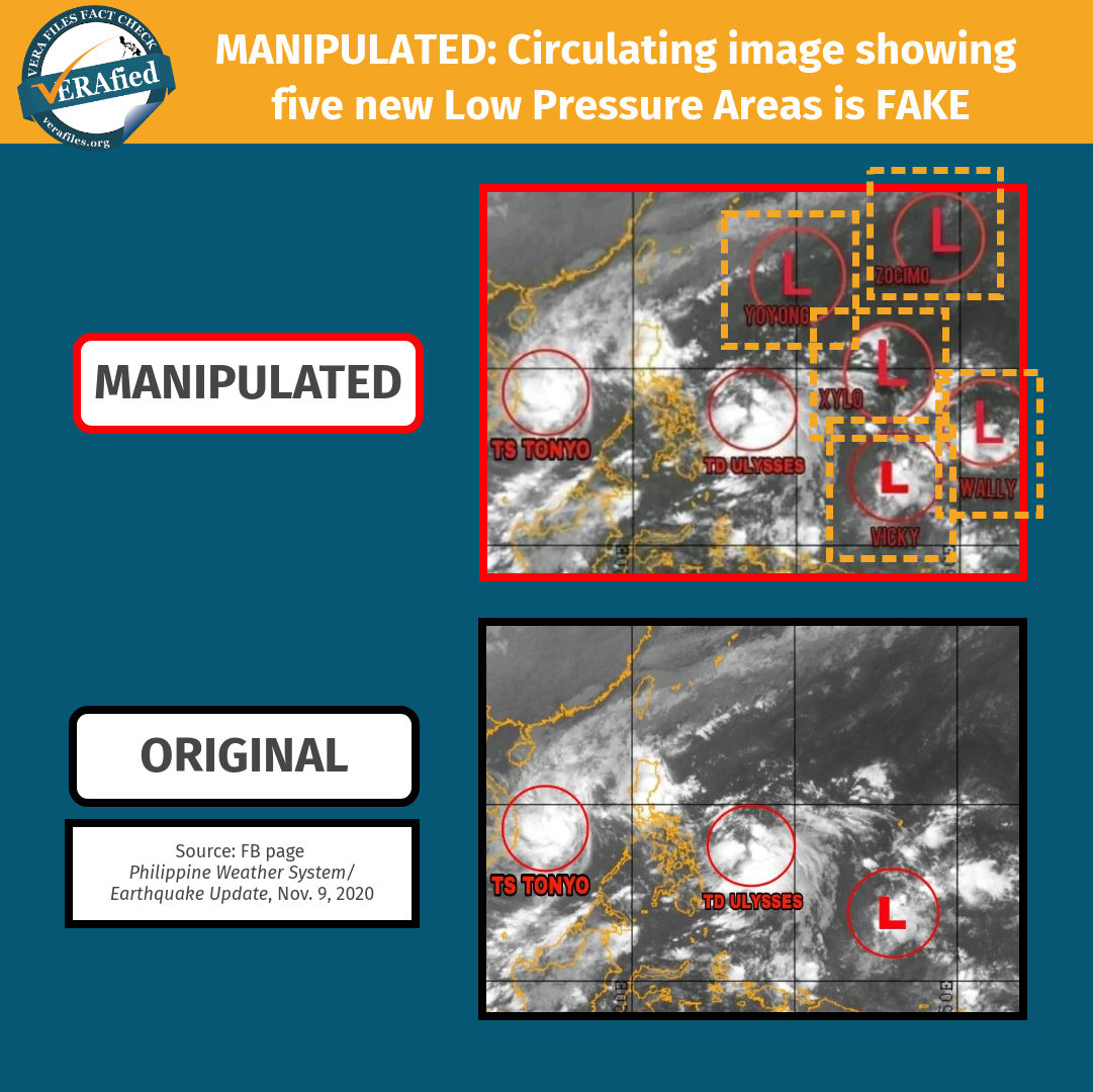
The fake circulating post manipulated a photo originally uploaded by FB page Philippine Weather System/Earthquake Update on Nov. 9, which only showed Typhoon Ulysses approaching the country and one LPA, highlighted in red circles.
The falsified photo gave the LPA a name, and shows four more red circles that were not in the FB page’s original update.
The PAGASA weather monitoring tool also does not show any active warnings for weather disturbances, as of publishing.
Five FB posts carrying the faked photo flagged by VERA Files Fact Check have received over 4,200 shares collectively. It continues to receive interactions from FB users expressing concern a week after publication. It emerged after two powerful storms battered the country: Typhoon Rolly which severely affected the Bicol region, and later Ulysses, which caused massive flooding in several parts of Luzon.
(Editor’s Note: VERA Files has partnered with Facebook to fight the spread of disinformation. Find out more about this partnership and our methodology.)

