Demanding transparency from the government, experts have warned of China’s possible “hidden agenda” after it was granted permission to conduct marine scientific research (MSR) in the Benham Rise renamed Philippine Rise.
Noting that there is always risk given China’s previous activities, the need for the details of the research is important, said lawyer Jay Batongbacal, director of the University of the Philippines (UP) Institute of Maritime Affairs and Law of the Sea.
“It seems like this narrative is being set up to ensure our conformity, our compliance, without so much as even an objection or basic information,” he said Jan. 29 at a press conference in Quezon City. “That’s why I think we should always be calling government out.”
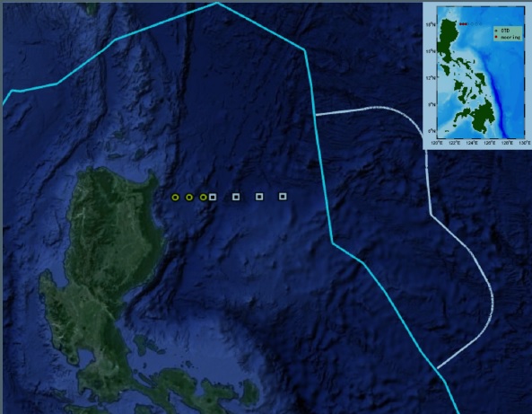
The Department of Foreign Affairs (DFA) has recently allowed the Institute of Oceanology of the Chinese Academy of Sciences to explore the Benham Rise, the 13-million hectare undersea region off the east of Luzon, part of the Philippines’ extended continental shelf (ECS).
As part of its ECS, the Philippines has sovereign rights, but not sovereignty, over Philippine Rise.
In a letter to DFA, environmental nonprofit OCEANA Philippines requested a copy of China’s application and consequent approval, DFA’s rules on approving China’s MSR, a list of MSR by Chinese researchers, and prior written approval from the Department of Environment and Natural Resources and Department of Agriculture.
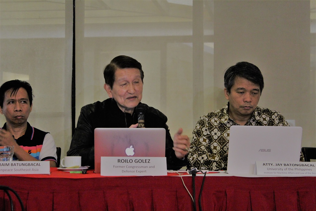 Former national security adviser Roilo Golez warns that China may claim Benham Rise and put the Philippines in its sphere of power. (Photo by Arianne Christian Tapao)
“Benham Rise is ours,” said OCEANA Philippines vice president Gloria Ramos as she called on the government declare the Benham Bank as a “no-take zone,” and to create a framework for its long-term sustainability. (See VERA FILES FACT CHECK: Is it still necessary for the Philippines to claim Benham Rise?)
The group pointed out in its statement that so far, two government-led research cruises have been conducted in 2014 and 2016, revealing “possibly the most pristine reef in the country.”
China’s approved venture, said former national security adviser Roilo Golez, could be part of China’s “geostrategic objective.”
“What is the hidden agenda here?” he said, recalling that in 1999, he warned that China was claiming Scarborough Shoal.
“Why China, considering their record of seizing, and claiming a big part of our exclusive economic zone in the west part of the Philippines? And now we are giving them an entry point in the east part,” he added.
China has been claiming around 80 percent of the South China Sea based on its nine-dash-line map, rendered invalid by the Arbitral Tribunal decision July 12, 2016.
China did not participate in the case filed by the administration of Benigno Aquino III and has ignored the ruling.
Batongbacal lamented that China’s seeking approval from the government could have been an opportunity for the government to hold it into account for its previous activities.
More, while China is a formidable force in marine sciences, the government must not undermine Filipinos’ skills, the maritime expert added.
“If cooperation is to be sincere and effective, it should be always on the basis of equality, of confidence in our own abilities,” he said.
Apart from the first island chain west of the Philippines where contested territories like the Scarborough Shoal lie, Golez said China may be attempting to gain hold of the second island chain where the Benham Rise is.
“It would put the Philippines in their sphere of power,” Golez added.
The defense expert said the scientific research may allegedly be a measure to chart the area as an area for submarine warfare.
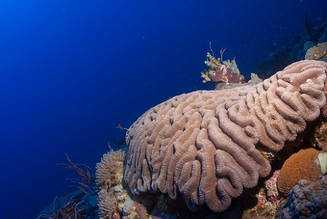
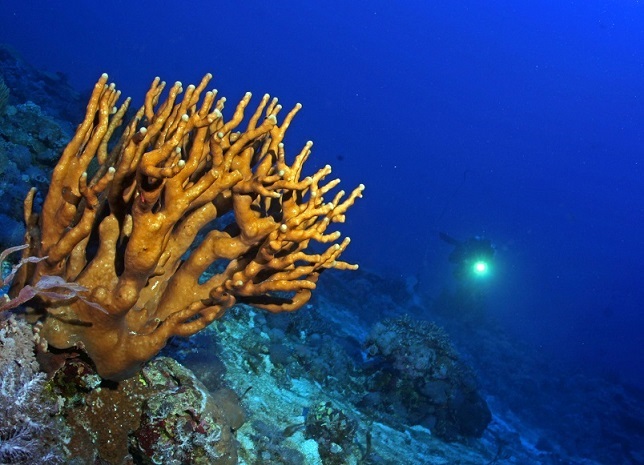 Powerful lights reveal the true colors of branching corals in Benham Rise. (File photo courtesy of Oceana UPLB)
“If China succeeds in charting Benham Rise for future reference for submarine warfare, would that be irreversible? I think that would be irreversible,” he said.
Yet, the UP Marine Science Institute (UP-MSI) in an earlier statement explained that project they are doing with Chinese scientists is a product of “international collaboration” since 2011. (See What’s going on in Benham Rise?)
“International collaboration is important because the collective efforts, data and information from all countries involved will enable us to acquire a better understanding of what is really happening,” the institute said.
Since the 1980s, UP-MSI said it has collaborated with other countries such as the United States, South Korea, Japan and Taiwan on research along the Pacific seaboard.
Sought for comment, Batongbacal said, “I’m confident that MSI…will also have a sense if some data can be hidden or if the data can be used for other purposes.”
He added, “We do this aware of that implication so that we can prepare of the possibilities.”
