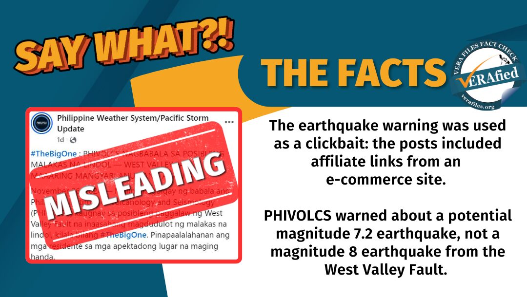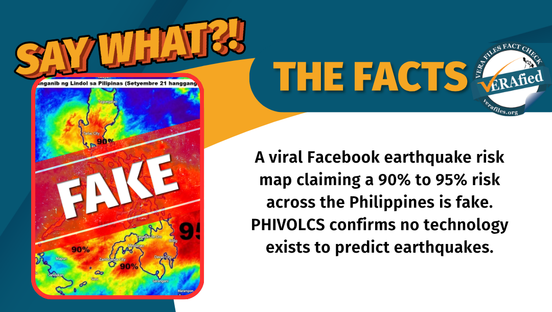


A Facebook post with a graphic claiming to show a high-risk forecast of an earthquake hitting the Philippines Sept. 21 to 22 has gone viral. This is fake and the map was fabricated to create panic.
On Sept. 21, the post bears an image of a weather-like map and is captioned with the following text:
“Panganib ng Lindol sa Pilipinas (Setyembre 21 hanggang 22)
(Danger of Earthquake in the Philippines (September 21 to 22))”
The post further included risk percentages for several areas, some as high as 90% and 95%.
The graphic itself features the Philippine map, along with a similar format to a weather forecast or satellite storm tracker, with colors that mimic a thermal image. By labelling these multi-colored heat signatures with high-risk percentages such as 90% and 95% over major regions like Manila and Mindanao, the post visually creates an illusion that it is from a high-tech seismic tracking device, when in reality only uses an ordinary meteorological radar-like style.
Cross-checking with official weather and risk information services such as the Philippine Atmospheric, Geophysical, and Astronomical Services Administration (PAGASA) and the Philippine Institute of Volcanology and Seismology (PHIVOLCS) showed that no such hazard mapping or combined meteorological-seismic risk forecasts have ever been released.
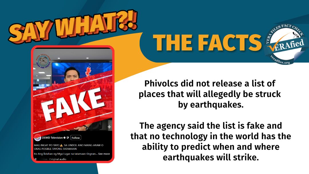
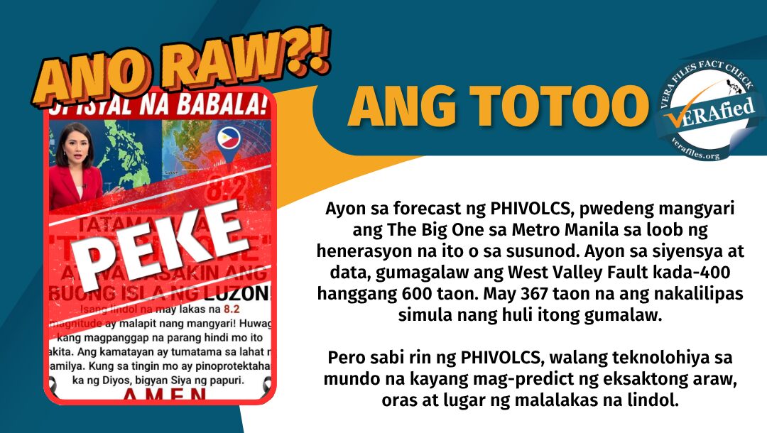
To add, PHIVOLCS has denied and refuted several times that earthquakes can be predicted, and that there is no existing reliable technology capable of predicting an earthquake by date, time, or location.
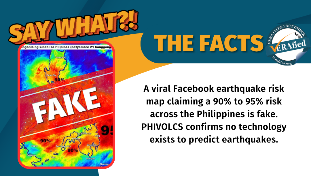
Weather imagery and graphs of potential hazards or disasters are still being fabricated and shared on social media, with intentions of creating unnecessary panic and social media engagement.
The malicious post came as several parts of the country were battered by typhoons, heavy monsoon rains, and widespread flooding, raising the public’s heightened susceptibility to weather alerts.
The post published by Manila, Philippines Panganib sa Lindol (created December 13, 2017) has so far garnered 2,000 likes; 383 comments; and 200 shares.