Editor’s Note: This article, originally published on Jan. 16, 2025 is updated to reflect the reaction of Mel Velarde sent to VERA Files on Aug. 18.
I stand by it. Not Unclos, but the map as historical evidence affirms our sovereignty! OF COURSE! From Spanish time under Philip V or even before up to this very day, that map is our proof of sovereignty. No UNCLOS or ICJ or any court can question that that map proves our sovereignty. No country has questioned it in court. As to the UNCLOS Arbitral Tribunal, which resolves maritime rights and entitlements, was not even mentioned in my statement. I did not claim the 2016 award proved our sovereignty; the map does prove it and will always be our proof of sovereignty. Assuming we lost the case at the Arbitral Tribunal, we will still use the map to prove our sovereignty in the proper International court. Hope you consider this.
**************************************************************
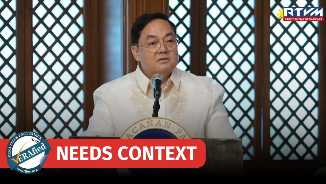
Technology entrepreneur Mel Velarde has claimed that the 1734 Murillo Velarde map served as a “crucial piece of historical evidence” that helped the Philippines affirm its “sovereignty” over the West Philippine Sea (WPS) under the United Nations Convention on the Law of the Sea (UNCLOS) in the country’s case against China in the arbitral tribunal.
This needs context.
STATEMENT
When the original copy of the map was presented to President Ferdinand Marcos Jr. in Malacanang on Dec. 6, 2024, Velarde said:
“What was once a map of subjugation was reborn—a map of liberation. This map served as a crucial piece of historical evidence in our case at UNCLOS, affirming our sovereignty over the West Philippine Sea—transforming this colonial map into a powerful legal and moral weapon of sovereignty.”
Source: RTVMalacañang, Presentation of the Original Murillo Velarde 1734 Map to the President 12/06/2024, watch from 4:48 to 5:13
FACT
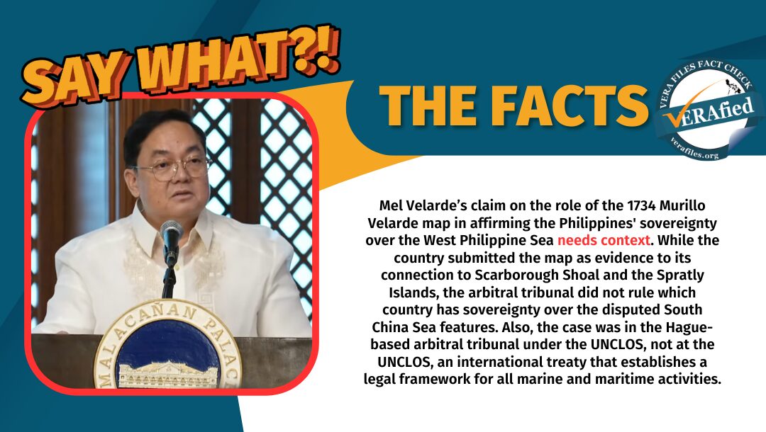
While the Philippines submitted the map as historical cartographic evidence of the country’s connection to Scarborough Shoal and the Spratly Islands, the Hague-based arbitral tribunal did not rule which country has sovereignty over the disputed South China Sea features.
Also contrary to what Velarde claimed, the Philippines did not have a case “at UNCLOS.” The country is a signatory of UNCLOS, an international treaty that provides the legal framework for marine and maritime activities, which the country cited in its case in the tribunal.
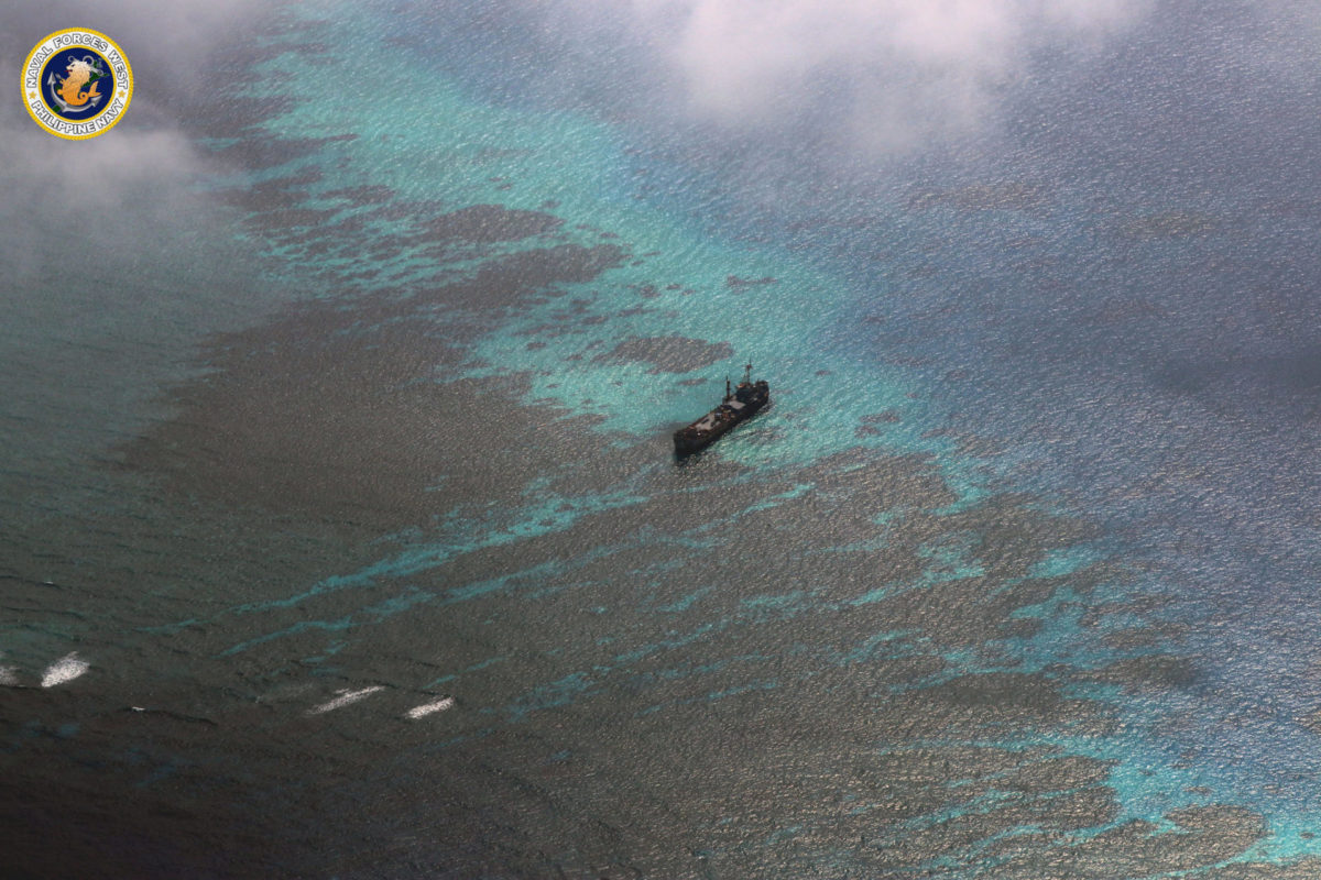
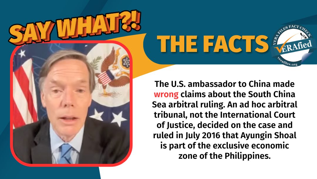
In the 2016 arbitral award, the Ayungin (Second Thomas) Shoal and Panganiban (Mischief) Reef were declared part of the Philippines’ 200-nautical mile exclusive economic zone (EEZ) and continental shelf. A state has sovereign rights over its EEZ, not sovereignty.
Moreover, the arbitral tribunal did not rule on the status of Bajo de Masinloc or Scarborough Shoal. It only clarified that it is a traditional fishing ground for many countries such as the Philippines and China.
READ: FACT SHEET: Are sovereignty and sovereign rights the same banana?
Several news articles in the past year carried a similar claim of the map’s role in proving the Philippines’ “sovereignty” over the WPS.
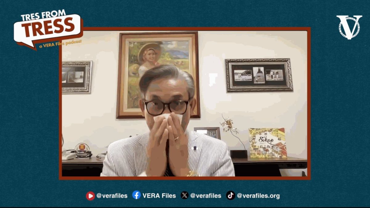
“This misinformation has been going around long enough. It gives the public a false sense of security,” international law expert Romel Bagares said.
In a Dec. 26 episode of “What is this, Justice?” by the media production company Probe Productions Inc., former associate justice Antonio Carpio explained the impact of UNCLOS on historical claims over the South China Sea:
“‘Yung UNCLOS, lahat tayo pumirma d’yan… [K]linaro na ‘yung bawat bansa can only claim a territorial sea of 12 nautical miles, and then 200 nautical miles [EEZ]. So, ang meaning niyan ‘yung mga historic rights kung ano pa ‘yung ibang mga claim, nawala na ‘yon. Na-extinguish na ‘yon because ito na ‘yung panibagong batas.”
(We all signed the UNCLOS… [It] clarified that each country can only claim a territorial sea of 12 nautical miles, and then 200 nautical miles [EEZ]. So, this means any historical rights and claims are gone. They were extinguished because this is the new law.)
Source: Probe [TikTok account], SINO LANG BA ANG MAY K SA WPS?, watch from 1:35 to 2:03
Produced by Spanish Jesuit Friar Pedro Murillo Velarde with the help of Filipino artisans Francisco Suarez and Nicolas Dela Cruz, the 1734 Murillo Velarde Map is widely regarded by historians as the “mother of all Philippine maps.”
It was acquired by Velarde in 2014 in a Sotheby’s auction in London, and later donated to the government.
