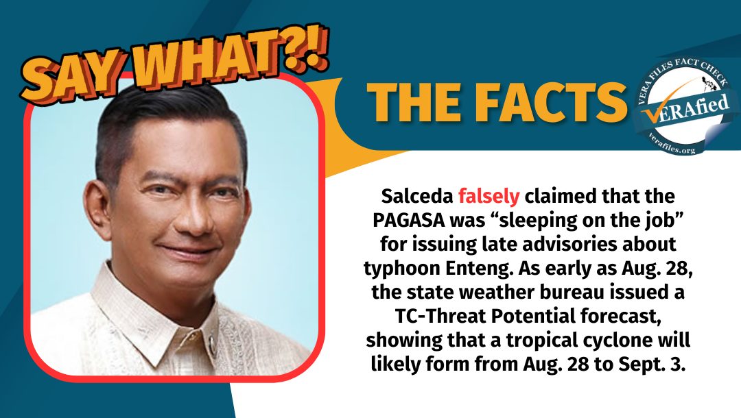
Albay Rep. Joey Salceda falsely claimed that the Philippine Atmospheric, Geophysical and Astronomical Services Administration (PAGASA) was “sleeping on the job” for issuing late advisories about typhoon Enteng.
STATEMENT
In a Facebook post on Sept. 1, Salceda said:
“Pagasa – sleeping on the job risking lives. How can we realize or be informed that there is a possible TC TD LPA in less than 12 hrs? What happened to PAR (Philippine Area of Responsibility) + 5 rule?”
Source: Joey Sarte Salceda Facebook page, Pagasa – sleeping on the job risking lives… (archive) Sept. 1, 2024
LPA refers to low-pressure areas from which tropical cyclones (TC) develop. Tropical cyclones, like typhoons and hurricanes, often form over tropical or subtropical waters and have organized and “intense cyclonic circulations.” Tropical depression (TD) is one of its lowest classifications with maximum sustained winds of up to 62 kilometers per hour.
The PAR+5 rule Salceda was referring to is a rule that expands PAR by about five degrees and allows PAGASA to widen the scope of its monitoring and issue advisories should a tropical cyclone form outside of PAR.
FACT
As early as Aug. 28, PAGASA issued a TC-Threat Potential forecast, which evaluates the likelihood of a tropical cyclone to form within the PAR for the next two weeks. It showed that a tropical cyclone would likely form from Aug. 28 to Sept. 3.

At 4 a.m. on Aug. 29, PAGASA warned the public about a cloud cluster in the Southern portion of the country, which had a high chance of entering the PAR and becoming an LPA.
At 4 p.m. the next day, it reported the formation of the LPA and the possibility of it entering the PAR within 24 hours and developing into a typhoon:
“[W]ithin the next 24 hours ay posible ho itong pumasok sa ating PAR at kasalukuyan, dahil nga nasa karagatan ito, hindi natin niru-rule out ‘yung possibility na ito ay maging isang bagyo at posibleng magdulot ng mga pag-ulan sa malaking bahagi ng Visayas at sa Southern Luzon area sa mga susunod na araw kaya patuloy po tayong mag-antabay sa update na nilalabas natin.”
(Within the next 24 hours, it may enter PAR and because it’s on the water, we’re not ruling out the possibility of it becoming a typhoon and causing rainfall on a big portion of Visayas and Southern Luzon in the coming days. So, please keep monitoring PAGASA for updates.)
Source: Dost_pagasa Facebook page, Public Weather Forecast issued at 4PM | August 30, 2024 – Friday, Aug. 30, 2024 watch from 1:38 to 2:00
Past midnight on Aug. 31, PAGASA announced that the LPA has entered the PAR and, since then, issued a 24-hour public weather forecast, warning certain areas for “possible flash floods or landslides due to moderate to heavy rainfall.”
In the 24 hours before the LPA formally developed into tropical depression Enteng at 8 a.m. on Sept. 1, the state weather bureau issued its daily 4 a.m. and 4 p.m. public weather forecast, Weather Advisory No. 1, hydrological forecast for Pampanga, Cagayan, Agno and Bicol river basins, dam updates, general flood advisories, and a series of rainfall advisories and heavy rainfall warnings.
In a press briefing on Sept. 2, PAGASA administrator Nathaniel T. Servando affirmed that the agency is implementing the PAR+5 rules.
“Ang pagkakaiba lang ng bagyong Enteng, ito ay nag-develop from low pressure area at ito’y naging isang ganap na bagyo malapit na po sa kalupaan ng Visayas, partikular na sa may silangang bahagi ng Samar Islands,” he explained.
(The only difference with typhoon Enteng was it developed from a low-pressure area into a typhoon near Visayas, particularly near the southern area of Samar Islands.)
“Bago pa man naging bagyo ay nakapag-issue na kami ng weather advisories… dahil sa mga pag-ulan na naranasan na sa may eastern part ng Visayas kahit ito pa ay isang low pressure area pa lamang,” he added.
(Before it became a typhoon, we already issued weather advisories because of rainfall experienced in Eastern Visayas even when it was still a low pressure area.)
