Each time a storm rages the Philippines, a trail of disaster misinformation follows.
(Watch YEARENDER: Disinformation sa mga kalamidad, patuloy na rumagasa nitong 2023)
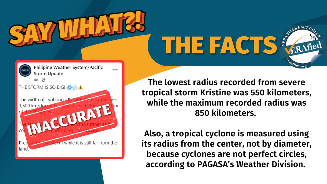
VERA Files and other fact checkers recently flagged two Facebook posts that mislabeled the severe tropical storm Kristine (international name: Trami) as a typhoon and a super typhoon. The terms are not interchangeable.
At 8 a.m. on Oct. 24, the Philippine Atmospheric, Geophysical and Astronomical Services Administration (PAGASA) classified tropical cyclone Kristine as a severe tropical storm with maximum sustained winds of 95 kilometers per hour (km/h) near the center and gustiness of up to 160 km/h.
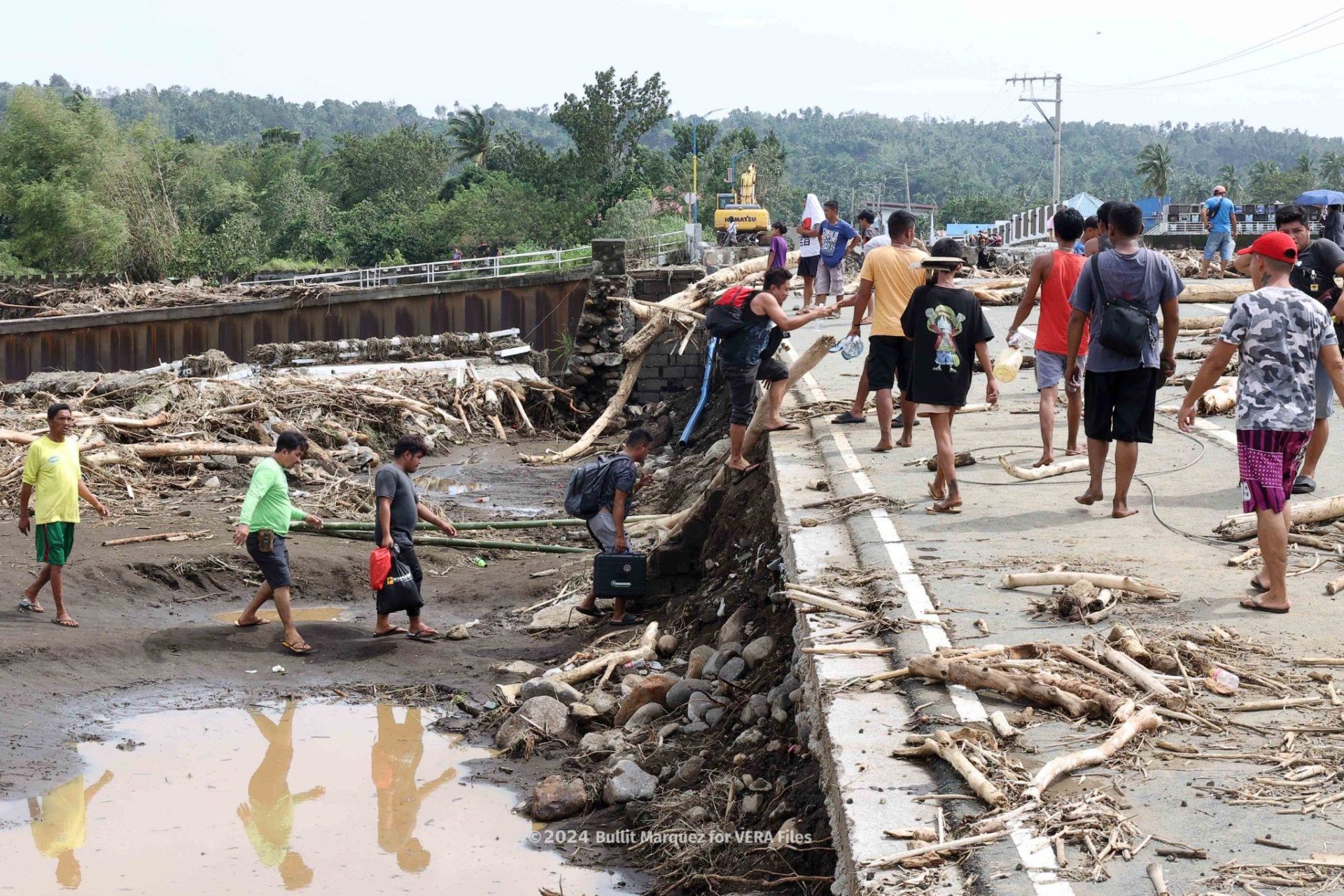
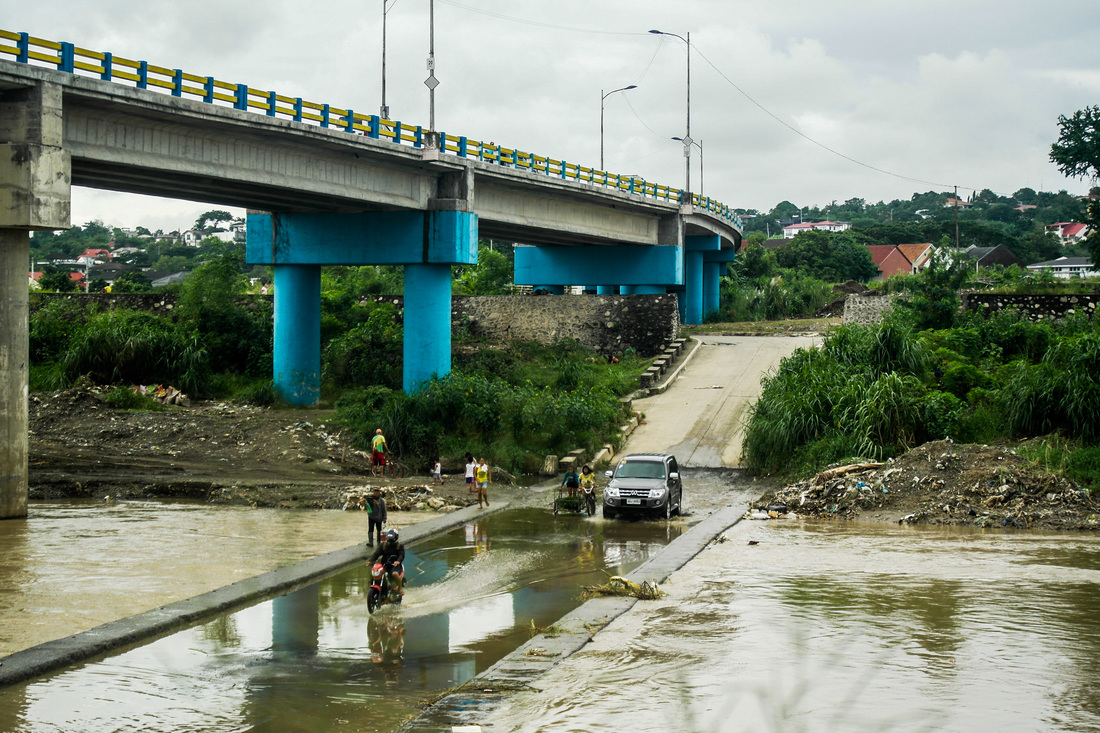
Thelma Cinco, PAGASA Climatology and Agrometeorology chief, explained that much of the damage from severe tropical storm Kristine was due to sustained heavy rainfall, rather than its wind strength.
She added that the slow movement of Kristine over the Philippine Sea east of Luzon brought intense to torrential rain, causing widespread flooding.
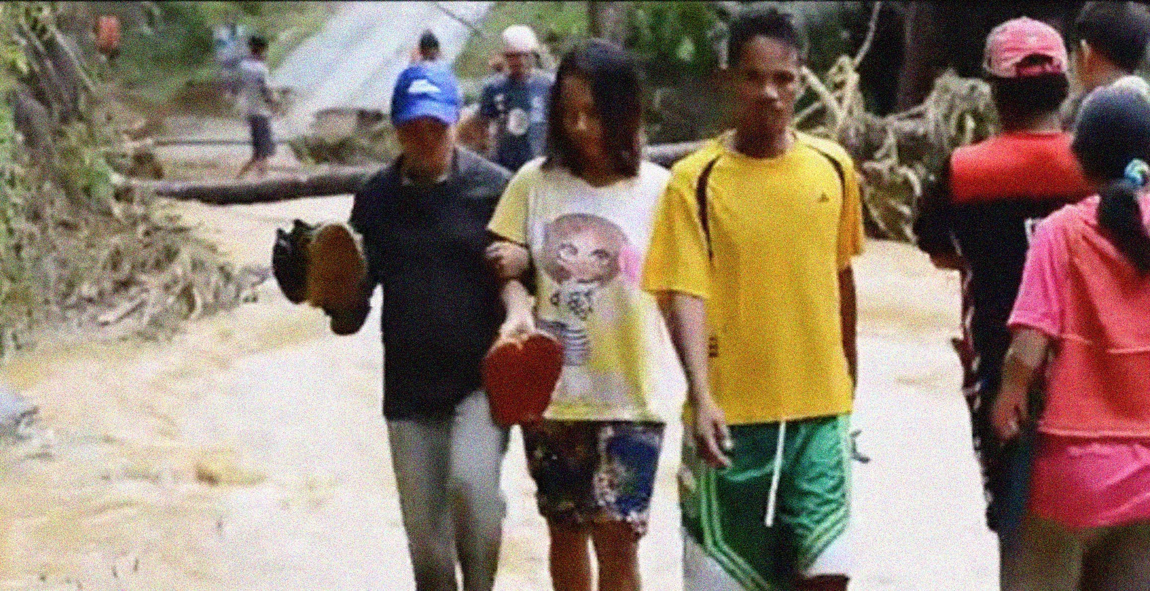
The Department of Social Welfare and Development has recorded a total of 1.89 million affected families and 61,407 damaged houses across the country as a result of Kristine as of Oct. 29.
Here are two things you need to know about tropical cyclone alerts.
1. How are tropical cyclones classified?
Tropical cyclones in the Philippines are classified into five categories based on their maximum sustained winds, according to PAGASA:
| Signal No. | Signal | Wind threat |
|---|---|---|
| 1 | Tropical Depression | 61 km/h or less |
| 2 | Tropical Storm | 62-88 km/h |
| 3 | Severe Tropical Storm | 89-117 km/h |
| 4 | Typhoon | 118-184 km/h |
| 5 | Super Typhoon | 185 km/h |
The wind signal is based on the expected wind threat, length of time before its onset and potential impacts to the locality.
Cinco, however, stressed that other hazards such as storm surges and intense rainfall can accompany a cyclone and lead to massive flooding and landslides.
“While every tropical cyclone requires careful preparation regardless of its category, the term ‘super typhoon’ can sometimes provoke public concern,” she added in an email to VERA Files Fact Check.
Robb Gile, senior weather specialist at the Marine Meteorological Services of the Department of Science and Technology–PAGASA, said these categories do not indicate how much wind or rainfall will hit an area.
“This is why DOST-PAGASA issues heavy rainfall outlook in its weather advisories, tropical cyclone wind signals in its bulletins, and (red, orange yellow) heavy rainfall warnings to communicate the threat of the actual hazard over different areas of the country,” he noted.
PAGASA’s Hydrometeorology Division and the River Basin Flood Forecasting and Warning Centers issue these advisories and bulletins.
2. Why is it important to know the difference?
The signal system warns the public of the possible threats from tropical cyclones, thus helping in risk assessment and preparedness.
Although these classifications may just be labels, Dr. Edson Tandoc, a professor in communication studies at the Nanyang Technological University in Singapore, said when people see inconsistencies between what scientists and authorities say, it “may affect institutional trust” on organizations, like PAGASA, who issue such alerts.
When labels don’t match people’s experiences on the ground, it could also affect how they respond to future announcements.
“Misusing labels now may result in people not preparing enough in future occurrences if they inadvertently underestimate certain classifications because of past experiences,” Tandoc added.
Learn tips to avoid disaster misinformation online at factcheck.ph.
